INNO GEO
Geospatial products, services and solutions for data capture, processing, visualization and site intelligence.
Discover INNO GEOGeospatial · Drone · Infrastructure
INNOBUS brings geospatial intelligence, drone-based systems and digital platforms together for complex infrastructure work — from field capture to decision-ready dashboards.
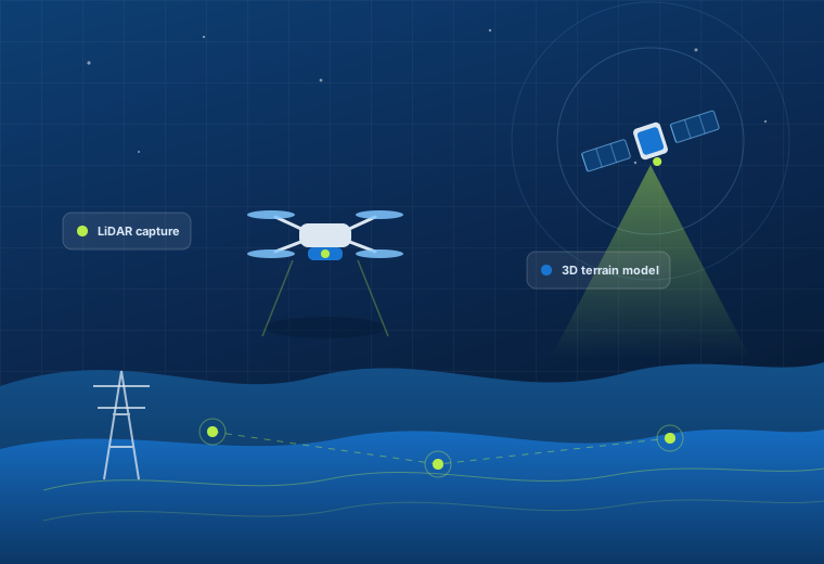
We develop and integrate geospatial platforms, drone-enabled workflows and specialized systems to support surveying, infrastructure, transmission, monitoring and remote operations.
From capture and processing through visualization, analysis and reporting.
Capabilities designed around engineering, utility and site-based applications.
Online platforms that bring project data and observations into one place.
UAV, drone and robotic solutions shaped for specific operating needs.
Products & Platforms
A connected portfolio for geospatial data, transmission infrastructure, aerial logistics, and customized UAV and robotic systems.
Geospatial products, services and solutions for data capture, processing, visualization and site intelligence.
Discover INNO GEODrone and AI-enabled solutions for modern power transmission projects, inspection and asset health.
Explore capabilitiesHeavy-payload drone transportation for remote, critical and challenging locations.
See applicationsCustomized drones, UAVs and robotic systems for industrial and infrastructure applications.
View capabilitiesINNO PIX, INNO MAPPER and INNO GEO AI help teams turn spatial and site data into accessible, usable project intelligence.
Services
INNOBUS service offerings support site understanding, terrain modelling, inspection and water-resource work.
High-accuracy terrain capture, contours and DTM/DSM outputs for design teams.
Dense point clouds for corridors, vegetation, stockpiles and bare-earth modelling.
Thermal imaging for electrical assets, solar modules and process equipment.
Ground-penetrating radar for subsurface utilities, voids and pavement studies.
Riverbed, reservoir and canal profiling for sedimentation and capacity studies.
Catchment delineation, flow modelling and drainage assessment from terrain data.
Artificial recharge siting supported by geospatial and hydrological analysis.
Route selection, profile plotting and tower spotting support for line projects.
Digitization, base-map creation, attribute structuring and map production.
Solutions & Industries
Our platforms and services are positioned for a broad set of infrastructure, natural-resource and remote-operation applications.
Projects
Add your project photography, drone outputs, maps or videos here as your portfolio grows.
INNOBUS capabilities
Integrated technology for visualization, monitoring, transportation and customized missions.
Technology & Capabilities
Tools for drone-data processing, geospatial visualization, digitization, measurement and collaboration.
Construction-site data integration, daily monitoring, image analysis, change detection and comparative reporting.
Drone-based transmission support, inspection and heavy-payload aerial transportation workflows.
Specialized systems spanning heavy-payload, underwater, long-range, high-speed and remote-environment applications.
Contact INNOBUS
Tell us what you are working on. We’ll help identify the right geospatial, drone or infrastructure technology approach.
Share a few details and our team will get back to you.